


De Haan vers Wenduine et retour

Alfredy
User GUIDE
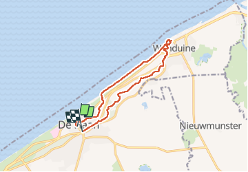

Length
11 km

Max alt
19 m

Uphill gradient
68 m
Km-Effort
11.9 km

Min alt
-1 m

Downhill gradient
67 m
Boucle
No
Creation date :
2022-09-23 12:24:40.0
Updated on :
2022-09-23 14:50:26.096
2h25
Difficulty : Medium

FREE GPS app for hiking
 SityTrail
IGN / Geographical institutes
SityTrail Plus
The world is yours!
About
Trail Walking of 11 km to be discovered at Flanders, West Flanders, De Haan. This trail is proposed by Alfredy.
Description
Très chouette randonnée avec beaucoup de tronçons dans les bois après avoir longé la mer du Nooord…, oui le Noord 😉
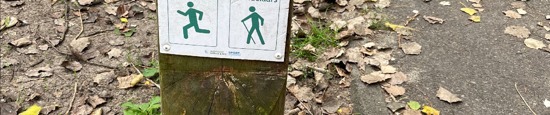
Photos


Positioning
Country:
Belgium
Region :
Flanders
Department/Province :
West Flanders
Municipality :
De Haan
Location:
Klemskerke
Start:(Dec)
Start:(UTM)
502167 ; 5680367 (31U) N.
Comments